Know which parcels around the substation are worth a phone call.
Battery Storage Siting screens the land within reach of a substation for flat, small, road-served parcels and sends back a ranked shortlist, so the site walk and the owner conversation go to the right ground first.
The job today
The parcel list before the land agent starts calling
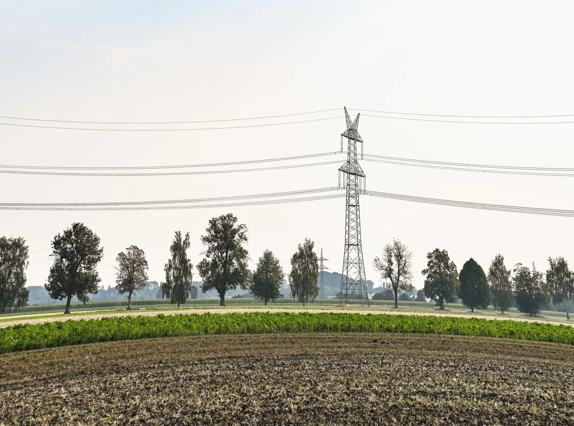
Someone on the team picks a substation that looks like it has room. Next comes finding land around it that a project could sit on. The analyst pulls the county parcel layer, draws a ring around the fence line at the distance the project can stand, and starts opening parcels in an aerial viewer, one at a time. Does it lie flat, and is there a road in, or only a field edge? Is the back half a stand of trees, a drainage, a pond? Is enough left once setbacks come off?
It is slow, and it is judgment work. The list that survives goes to the land agent, who spends calls and windshield time on owners before anyone knows whether the ground works. A conversation about an option on a parcel that slopes into a ditch is a dead lead, and you only find out after the drive.
Meanwhile the interconnection queue keeps its own calendar. Windows open, site control has to be in hand to file, and the screen has to be done before then, for more than one substation at a time.
This offer takes over the first look. The parcels come back already ranked, so the analyst spends the time on the ones that survive.
What you get
What comes back
One screen per substation or region you name. It arrives as a GIS file, and the parcels are the ones from your own county layer.
2.1
Parcel shortlistGeoPackage
The parcels inside the reach you set, ranked by how well they fit what a BESS needs. The land agent can work from it, and you can carry it into your own site control tracker.
2.2
Slope and flatness flagAttribute column
Each parcel gets a first-read mark: flat enough, borderline or too steep, so the steep ones can drop out before anyone drives out. It is read from satellite imagery, so treat it as a screen.
2.3
Road-access flagAttribute column
Whether a road or track already reaches the parcel. A parcel with no road in stays on the list, and the land agent sees the cost coming.
2.4
Buildable-footprint estimateAttribute column
A rough count of the usable area left on each parcel after slope, trees and water, in acres. Use it to rank parcels. Your engineers apply the setbacks that the local code asks for.
2.5
Pass noteNote
The date of the satellite pass behind the screen and which parcels sat under cloud or tree cover, so you know how much to lean on each row.
How it works
Step 1
Give us the substation
A substation location, or a region, plus the reach you want and the parcel size range you care about. Send your county parcel layer if you have one.
Step 2
We pull the latest pass
The most recent high-res satellite capture over that ground. One annual pass is enough for this question.
Step 3
Parcels are screened
Each parcel in reach is scored for slope, size and road access, then ranked.
Step 4
You get the shortlist
The GeoPackage and the pass note. Early-access customers get a conversation about the first run instead of a self-serve account.
Where it fits
Before the site walk, after the substation pick
Use the shortlist to decide which parcels get a site walk and a land-control conversation, instead of starting from a blank map. It sits in front of the geotechnical work and the title search, and replaces none of them.
Limits
Limit 1
Trees and dense vegetation hide the ground
Optical imagery sees the canopy. Wooded or overgrown parcels cannot be scored reliably, and the pass note flags them as unscored.
Limit 2
Resolution sets the smallest thing it sees
At 0.5 m a pixel is about the width of a footpath. At 2 m a narrow farm track is a pixel or two across and can be missed. The coarser the imagery for your area, the less you should trust the road-access flag on small tracks.
Limit 3
Flatness is a first read
The slope flag is a desk screen. It does not replace a topographic survey or geotechnical work, and it will miss small drainage cuts and soft ground.
Limit 4
No capacity, no queue
Nothing here tells you whether the substation has room or where you sit in the interconnection queue. That comes from the utility.
Limit 5
Annual is the cadence
The screen is as current as the last annual pass over that ground. A parcel cleared or built on since then will look as it did.
Who this is for
- Land acquisition and origination teams at storage developers and IPPs who already have a substation in mind.
- Analysts who build the parcel list before a land agent starts calling.
Who it's not for
- Anyone looking for interconnection capacity or queue position.
- Teams that need a survey, a title check or an environmental clearance.
- Teams after a siting approval or a guarantee that a parcel can be permitted.
FAQ
Questions before you ask for access
Does this replace a geotechnical survey?
No. It is a desk screen to decide where the site walk goes. Ground truth, soils and title come from the surveys that follow.
Does it check interconnection queue status?
No. Capacity and queue position come from the utility. The screen only reads the land.
Can it see under tree cover?
No. Optical imagery sees the canopy, so wooded parcels are marked unscored.
How current is the screen?
As current as the last annual satellite pass over that ground. The pass note gives the date.
What size parcels does it flag?
Whatever range you set. It doesn't assume a project size.
Can we check it against our own judgment?
Yes. Take a handful of parcels your analyst has already walked and compare. If the ranking looks wrong, send it back and we will go through that screen with you.
Does it work with our parcel data?
Send your county parcel layer and the screen runs on it. Without one, we need to talk about where the parcel boundaries come from.
Who owns the shortlist?
The substation, the reach and your parcel layer stay yours. What you can do with the screen files and the imagery licence behind them is written into the agreement before we start.
How is it priced?
It depends on how many substations and how large an area, so we scope it after we hear your target. There is no price on this page.
Tell us the substation.
Send a name or a location and the reach you have in mind. We will talk through what a first shortlist would look like.
Request early access