Field notes: three developers, one substation, forty acres
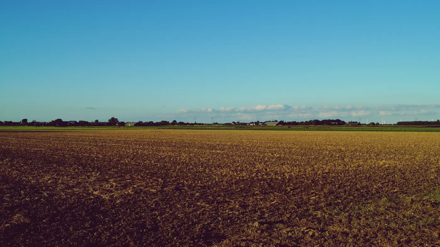
A substation on the edge of a county nobody writes about got three site control letters inside of six weeks this spring. Same feeder, same forty acres of flat bean ground a half mile off the tap, three different developers, three different LOIs sitting on the same landowner's kitchen table. He called his lawyer. His lawyer called around. Word travels fast in a county where everybody's second cousin is a lineman.
It's worth sitting with why this happens, because it isn't bad luck. It's math that three different teams ran separately and all got the same answer.
Spare capacity on a given substation is public enough, or close to it. Most developers are pulling from the same queue data, the same utility planning documents, the same interconnection capacity maps that get refreshed once or twice a year. If a substation shows headroom, every team with an analyst and a GIS license finds it inside the same news cycle. Everyone then draws a radius around that node, because the radius is set by physics: how far you can run a gen-tie before the cost per mile eats the project. Three miles, five miles, whatever the voltage class allows.
Inside that circle, the buildable land is a short list: flat ground, no wetland, road frontage, and clean title without forty heirship interests splitting ownership. In a rural county that's usually six or eight parcels. Every analyst working that substation finds the same six or eight.
Three developers showing up on the same forty acres makes sense once you lay it out that way: the screening process is identical across the industry and the inputs are public. Nobody leaked anything to anybody. The only thing that differed was who moved first.
The developer who got the land won because his analyst had already ruled out the other five parcels in the circle before the landowner's phone started ringing. Two of the three competitors were still doing their aerial-viewer pass, zooming into the county parcel map one tile at a time, checking slope by eye, guessing at drainage, when the third one walked up to the door with a signed option already drafted. Speed to the parcel decided the deal, and speed to the substation data didn't matter without it.
That's the part that doesn't show up in the trade press write-ups about interconnection queues and capacity shortages. Everyone talks about the substation side like it's the scarce resource, and it is. But once you've found the node with headroom, the actual bottleneck moves to the ground: which of the handful of eligible parcels inside reach is buildable without a six-month wetland delineation fight, and who figures that out first. The firm that treats land screening as an afternoon's work in an aerial viewer loses the race to the firm that treats it as the real constraint it is.
The landowner signed with the first firm through the door; the other two offers, which came in higher, never got a counter. He said the other two developers "sounded like they were still figuring out if my field would even work," and he wasn't wrong. One of them called back two weeks later asking about a drainage ditch that was visible from the county road.
None of this is really a story about a scarce substation. Substations with spare capacity are a known, finite, slowly refreshed list. It's a story about three teams doing the same manual parcel check at three different speeds, with speed as the only variable left once physics has already picked your search radius. If your screening step still looks like an analyst scrolling a satellite tile county by county, that's the gap the fast developer is closing on you right now. Battery Storage Siting runs that screening against the land within reach of a substation's headroom before anyone's booking a site walk, so you show up with a shortlist instead of a hunch.
Next time a feeder shows headroom, know which forty acres around it are actually worth a phone call before you make one.