Field notes: flat, cheap, and three miles from a substation already spoken for
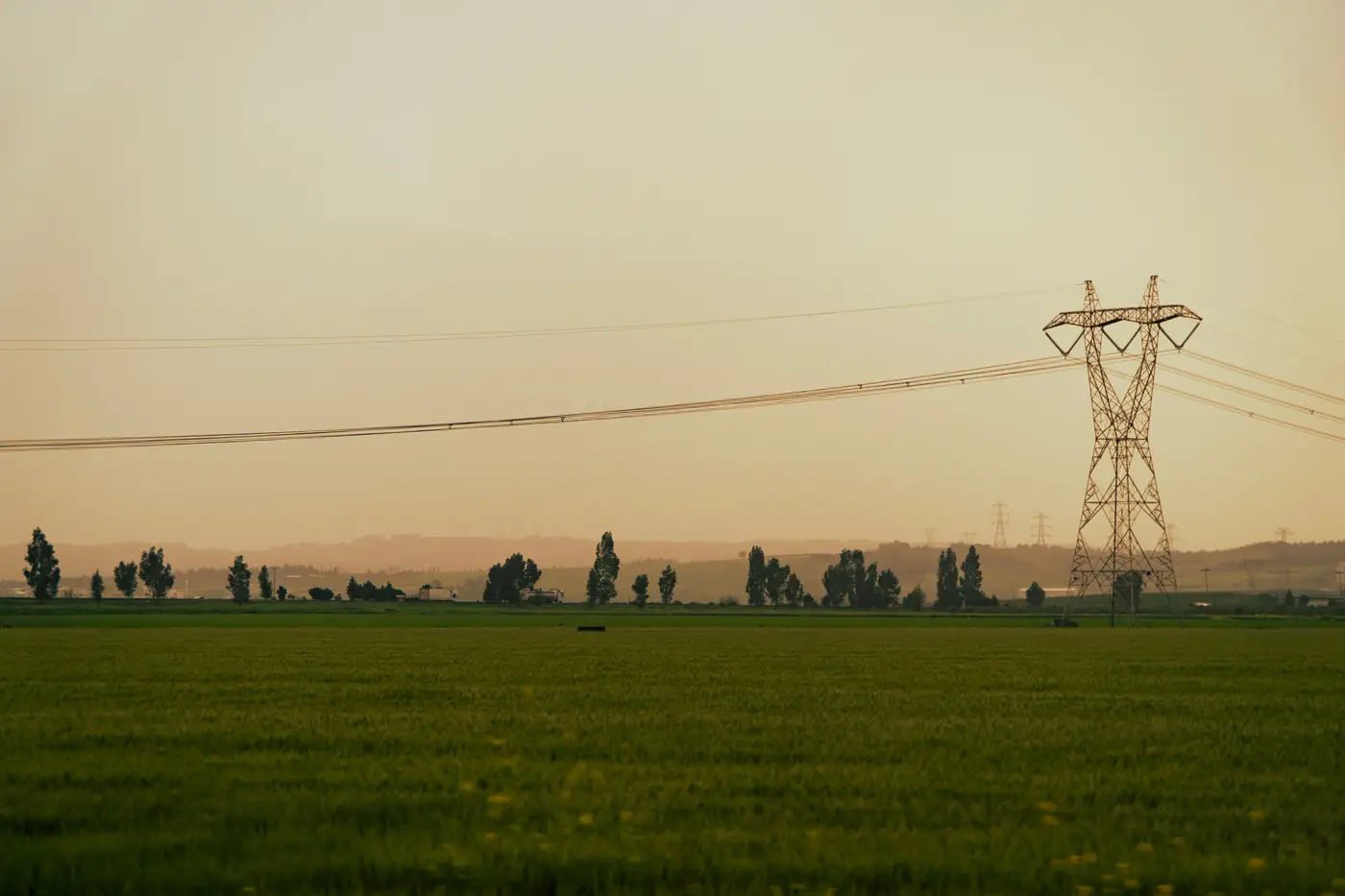
We looked at a 40-acre piece outside a mid-sized county seat last spring. Row crop, been fallow two seasons, no structures to speak of. Flat enough that the grading estimate came back almost insulting in how low it was. County road frontage on two sides, so no easement negotiation for site access. Price per acre was the kind of number that makes a land agent call you back within the hour instead of the usual three days.
And it sat three miles from a 115 kV substation with a double-circuit feeder running past the property line. On paper, the kind of parcel you stop looking for and start writing an LOI on.
The queue position told a different story. That substation had two interconnection requests already filed ahead of ours, both storage, both sized to eat most of what the utility was calling spare. Not in a public notice anywhere. We only found it because someone on the team knew a planner there and asked a direct question over the phone. Nothing against the utility. Queue data lags reality by design, and a capacity number published eighteen months ago doesn't account for what got reserved in the meantime.
This is the part of siting that doesn't show up in an aerial pass or a parcel viewer, no matter how good the imagery is. A tile can tell you the land is flat. It can tell you there's a road. It can't tell you that the two best-looking interconnection slots at that substation got claimed by developers who moved faster, or earlier, or just happened to already have a relationship with the right desk at the utility. That information lives in interconnection queues, cluster study results, and phone calls, not in pixels.
The old habit, and most teams still do this, is to screen the parcel first and check the queue second, sometimes not until the LOI is already drafted. It made sense when land was the scarce thing and capacity felt abundant. That's flipped in a lot of markets now. Substations with real spare capacity are the bottleneck, and the parcels around them get looked at by every developer with a GIS license and a list of candidate nodes. Working the land search backward, from capacity outward, catches the queue problem before you've spent a week on a parcel that was never going to clear interconnection.
We ended up walking away from that 40 acres, which stung a little given how clean everything else about it was. The land is probably still sitting there. Somebody will buy it for the acreage and the road frontage and find out about the queue position the same way we did, a few months after signing a deed.
What stuck with us was how much time got spent confirming something that should have been the first question, not the last one. A field visit, a title search, a flood zone check: none of that is cheap in hours, and none of it should happen before you know the substation can take the load.
That's the gap a shortlist built around spare capacity is meant to close, pairing the land traits that matter for a BESS footprint with what's actually still available at the node, so a parcel like that one gets flagged before anyone drives out to see it. If you're screening ground near a substation this cycle, it's worth starting from the capacity question rather than ending there.