How far from a substation can a BESS project still pencil?
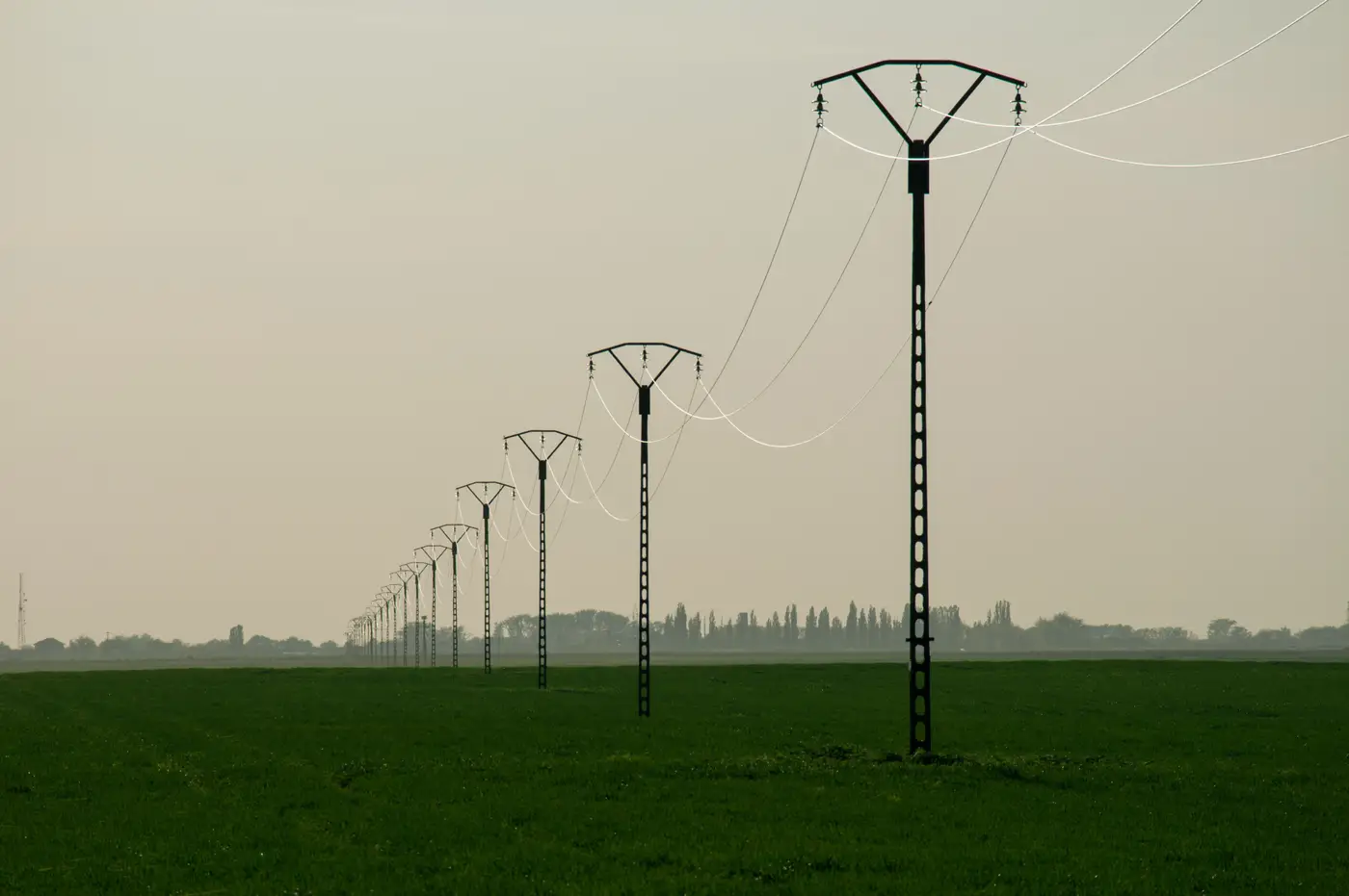
There's no mile marker where a BESS project stops penciling. Developers who tell you "anything past two miles is dead" are usually talking about a specific voltage class, a specific terrain, and a specific point of interconnection they've already priced out. Change any one of those and the number moves.
What actually determines whether a parcel works is a ratio: gen-tie cost against the margin the project throws off once it's online. A 100 MW four-hour system can absorb a longer, pricier tie line than a 20 MW peaker, because the fixed cost of the interconnection gets spread across more megawatt-hours. So the honest answer to "how far is too far" is: it depends on what you're building and what that substation can take.
What drives the per-mile number
The gen-tie line itself is rarely the biggest unknown. The things that blow up a pro forma are:
- Voltage class. A 34.5 kV tie and a 230 kV tie are different projects with different conductor, structure, and clearance requirements. Don't assume the same per-mile number applies across both.
- Terrain and crossings. A mile through flat ag land with no road or waterway crossings costs nothing like a mile through rock, wetland, or a county road crossing that triggers its own permit.
- Right-of-way acquisition. Easements across three landowners who've never dealt with a developer take longer and cost more than one parcel with a cooperative owner, independent of the engineering.
- Interconnection study costs and queue position. The utility's system impact study and facilities study come with their own price tag before you've strung a single conductor, and a congested queue can add cost through required upgrades at the point of interconnection that have nothing to do with your line length.
Any one of these can turn a "close" parcel into a bad deal, or make a farther one pencil fine.
Point of interconnection capacity beats mileage every time
A parcel a quarter mile from a substation with no spare capacity isn't a site. It's a parcel next to a wall. Developers who screen on proximity alone keep driving out to land that's geometrically perfect and electrically closed.
The real question order is: does the substation have headroom for the interconnection you need, and only then, what does it cost to reach a parcel inside that service area. Flip that order and you save a lot of windshield time. A site six miles out with a cooperative substation and a clean path often pencils better than a site a mile out that needs a bay upgrade or a transformer swap the utility won't commit to without a multi-year study.
This is the part of the process that's hardest to shortcut from a desk. Interconnection capacity lives in utility planning documents and queue data, not in an aerial photo. But once you know which substations have spare room, the land-side screening, is this parcel flat enough, big enough to permit on a reasonable timeline, and already road-served, is something you can do before you ever book a site walk.
So what's the real threshold
There isn't a universal one. There's a per-project break-even distance that depends on voltage, terrain, and project size, and most developers back into it from their own interconnection study rather than from a rule of thumb. What you can standardize is the screen you run before you spend a day in the truck: pull the substations with spare capacity, draw the radius their line cost budget supports, and only then start looking at parcel shape and access inside that radius.
Battery Storage Siting runs that second step for the parcels inside your substation's reach, so the shortlist that reaches your site-walk calendar has already cleared the land-level filters.
If you're staring at a list of substations with spare capacity and trying to figure out which parcels around them are worth a drive, that's the exact gap this tool is built to close.