Road-served land: what counts for a BESS site
"Road access confirmed" shows up on a lot of parcel summaries that haven't actually been checked for the thing a BESS project needs: a route a delivery truck can drive, legally, in any weather, without someone's grandfather's handshake agreement falling apart at closing.
The term "road-served" gets used loosely in land screening, and that looseness costs time once a site walk is booked. Here's what the term should mean when you're scoping parcels near a substation's spare capacity, and where it breaks down once someone checks the easement paperwork and the road surface instead of just the map.
The minimum bar: frontage, surface, and legal right
A parcel is road-served for BESS purposes when three things are true at once.
First, the parcel has frontage on a public road or a private road with documented access rights, not just proximity to one. A field that sits fifty feet from a county road but is landlocked behind a neighbor's fence isn't served by anything.
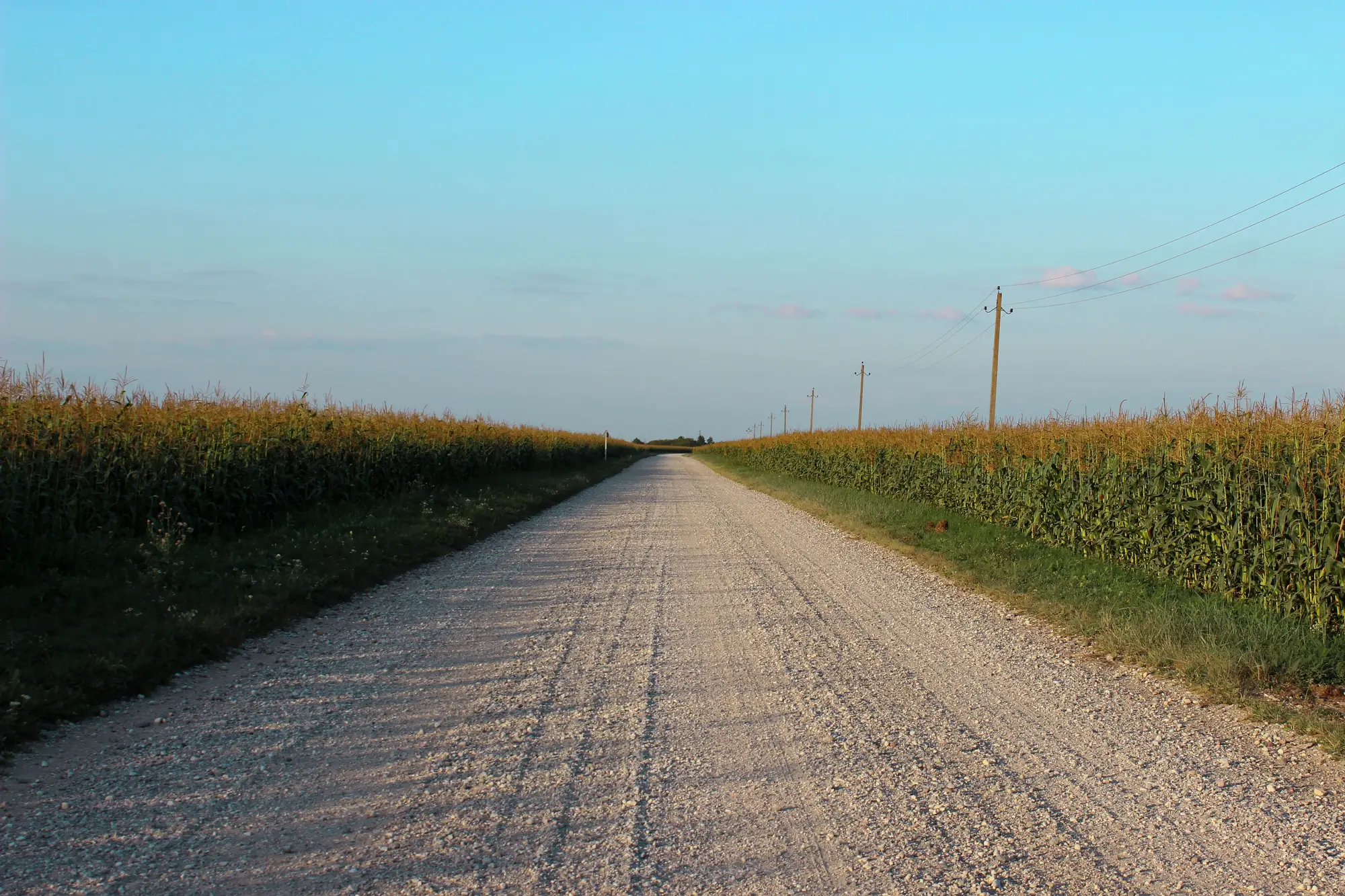
Second, the road surface and geometry can carry what you're going to drive on it. Transformers, inverter skids, and enclosures arrive on oversized loads, and those loads need an all-weather surface, a turning radius wide enough for a long trailer, and enough load-bearing capacity that the road doesn't need rebuilding before delivery day. Gravel can work. A seasonal dirt track that turns to soup every March does not, and that distinction rarely shows up in a county GIS layer.
Third, the access is legal, not just physical. A road that crosses a neighboring parcel needs a recorded easement that covers construction traffic and heavy equipment, not a decades-old farm-access agreement written for a pickup truck and a hay wagon.
Miss any one of these and the parcel only qualifies as road-adjacent, a label that tends to come apart as a surprise once the title search runs.
Paved access vs. easement access
These two get treated as interchangeable in early screening, and they're not.
Paved, publicly maintained frontage is the clean case. The jurisdiction owns the maintenance obligation, the load rating is usually documented somewhere, and there's no third-party owner who can renegotiate terms, restrict hours, or sell the underlying parcel to someone less cooperative. It's the access type that creates the fewest open questions heading into a site walk.
Easement access moves three checks earlier in the process: confirm the easement is recorded, confirm it covers construction traffic and permanent utility access rather than old agricultural ingress-and-egress language, and confirm the width and surface match what you need to drive. An easement that's never been tested by anything heavier than a tractor is an unknown until someone checks it, and checking it by hand across a long list of candidate parcels is exactly the kind of work that eats an analyst's week before a single site walk happens.
Why this matters before the site walk, not during it
The expensive version of this problem is finding out a parcel's access doesn't hold up after a landowner call has already happened, after the parcel has made it onto a shortlist, or after a civil engineer has started a grading plan. Access questions belong in the screening pass, alongside slope and parcel size.
That's the gap a lot of land search in this industry still runs through manual look-arounds in aerial imagery, checking one parcel at a time for whether a visible road reaches the buildable pad, which is slow and still misses the legal half of the question. Battery Storage Siting filters candidate parcels within reach of a substation's spare capacity down to the ones that are flat enough, small enough to permit on a reasonable timeline, and already sitting on a road, before anyone books a walk.
If road access is the thing killing parcels late in your process, it's worth screening for it earlier instead.